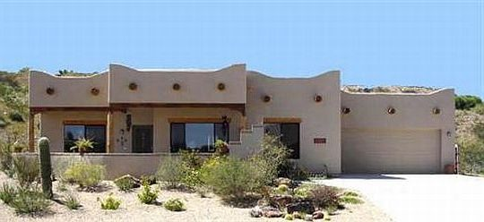
We asked our contractor to clear a pathway so that when we get our RV we can have pull-thru access. I have a problem with trying to back a large vehicle (trailer/5th wheel/class A) up or downhill, so we asked for the pull-thru access.
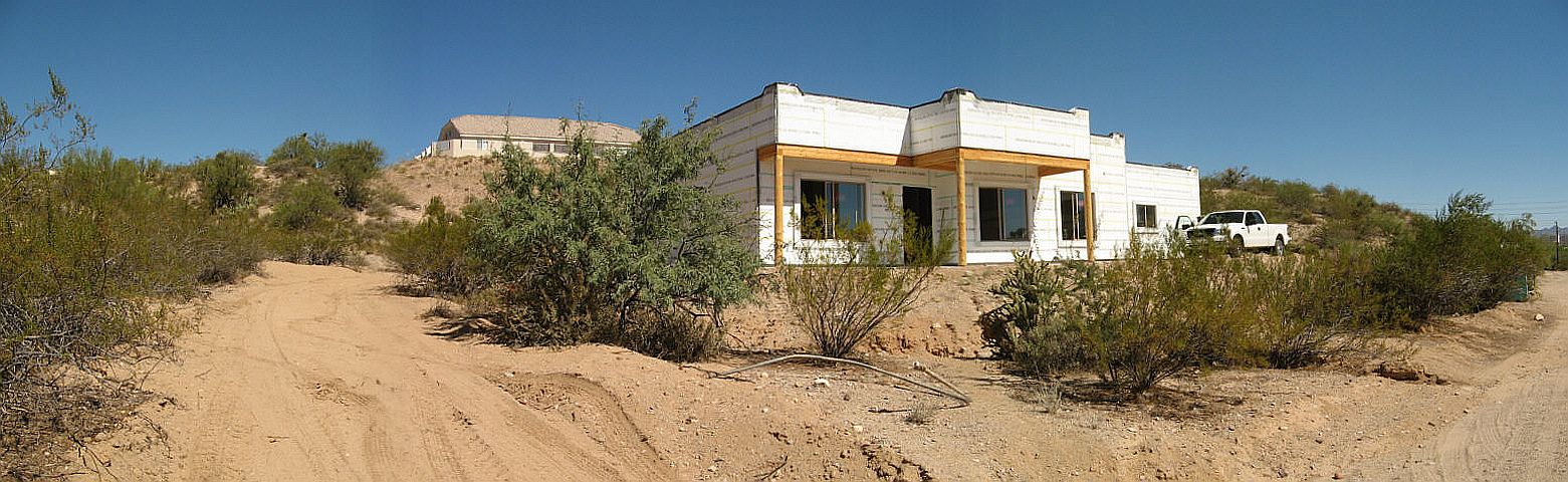
In the panoramic image below on the left side, you can see the rough exit access. The RV will enter the driveway on the right side and pull behind the house where there will be full hookups (30 Amp AC, hose bib, sewer) on the left side. Click on the image to enlarge.
We only needed the RV space for storage of the one we may eventually get. We wouldn’t necessarily need the hookups but if we get visitors who come in an RV, we wanted them to have the option to stay in their rig. We will pull ours down the exit access enough to allow our visitors to pull behind the house. When they are ready to leave, we will pull our rig down on the roadway and back up the driveway and into the RV spot as they pull out.