Environment
Moon over Old Glory
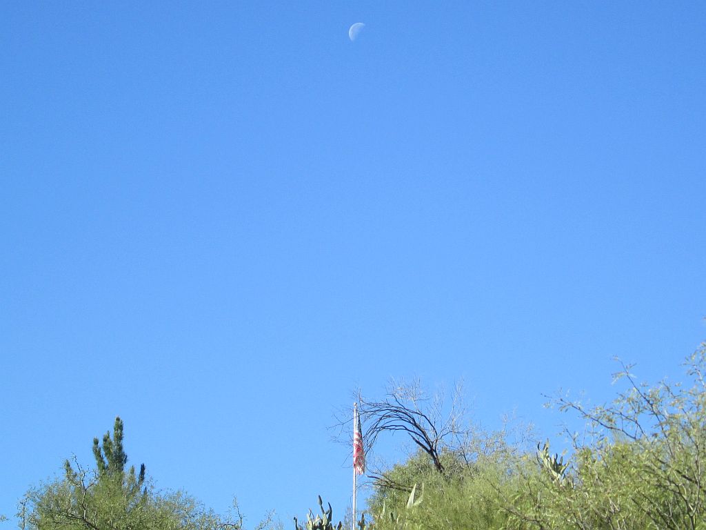
Finally, after several days of overcast and rainy weather, we have a cloudless Arizona sky. While we were walking the dogs this morning, I took this photo of the neighbor’s flagpole with the third quarter moon above.
The forecast is for continued sunshine and cooler temperatures with highs typically mid-sixties and lows in the low forties. You can see from the flag that the winds are light and variable. Click on the image to enlarge.
More Rain Coming

The so-called “Pineapple Express,” southern segment, is thrusting a mass of saturated air from the south Pacific via the sea of Cortez right up through the state of Arizona. We’re getting up to an inch from this storm which has been with us since early last eventing. It is forecast to remain tomorrow with a chance of more showers and thunderstorms throughout the weekend.
The green and yellow blob moving through the state in a northbound flow, has us in its direct path. Not to worry, though, we’re high and dry on our little casita in the desert. Monday is forecast to be our usual mild winter conditions of sunny and not-too-cool. The rest of Thanksgiving week is forecast the same.
Morning Moonset
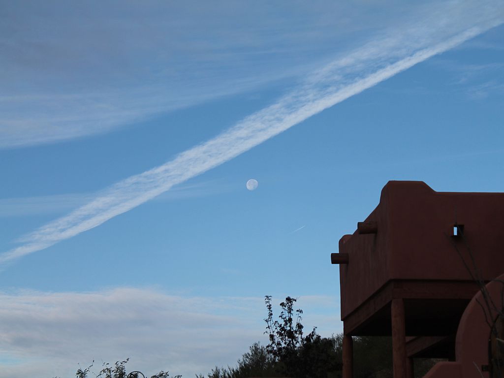
This is a view of the setting moon that I took yesterday morning from the driveway. I liked the way the moon floats among the sky textures of cloud formations and a contrail remnant. Click on the image to enlarge.
Why haven’t we posted anything for a week? The answer is complex, but suffice it to say that our plate has been rather full of good busy things and a bad one or two.
A Fierce Farse Monster
Here’s a really COOL (pun intended) cartoon from Gary Varvel that illustrates the nonsense peddled by “climate change Greenbats.”
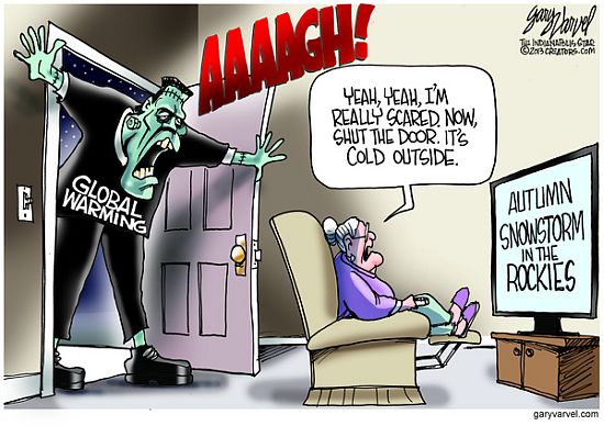
Found in The Patriot Post Tuesday Humor Email.
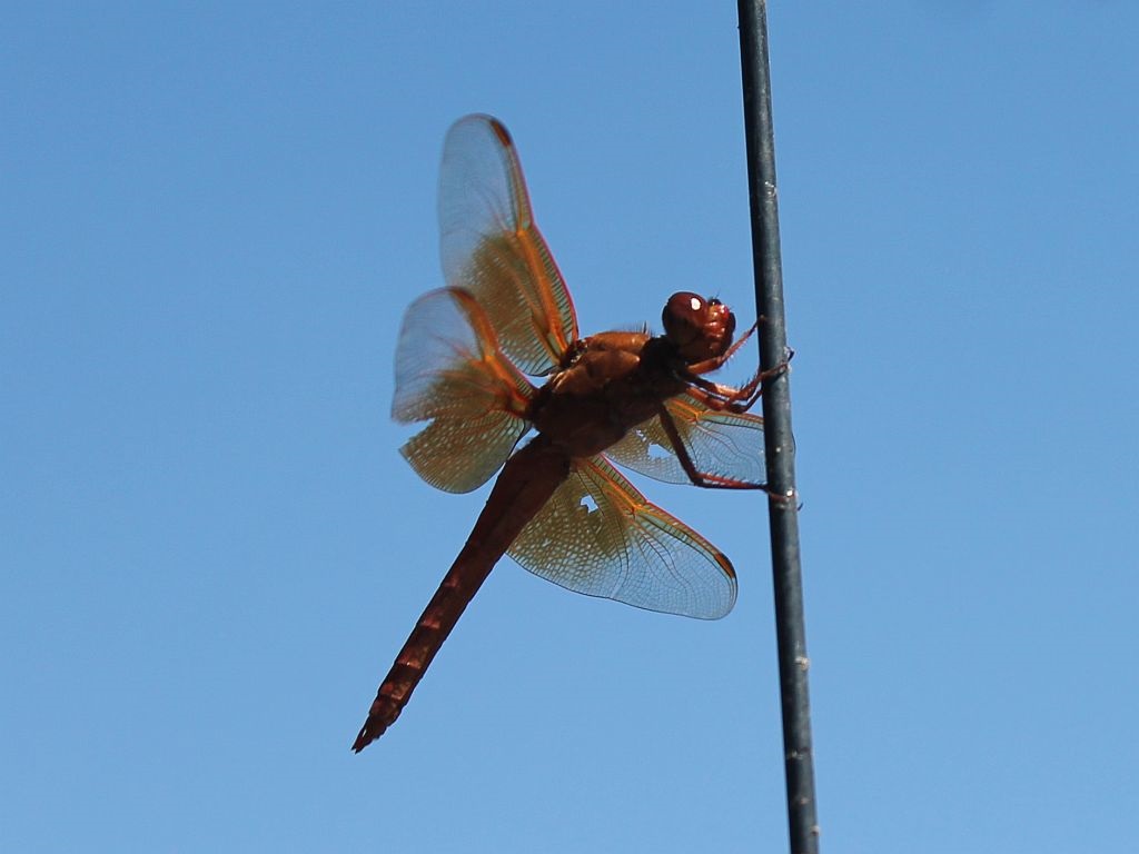
Another Red Dragonfly Sighting
We saw this colorful dragonfly perched on an auto antenna as we were parking. It stayed there long enough for me to get this close up photo of it before flying away. We saw a red dragonfly near the hospital courtyard koi pond in July and another one out in California in October of 2007. Click on the image to enlarge.

