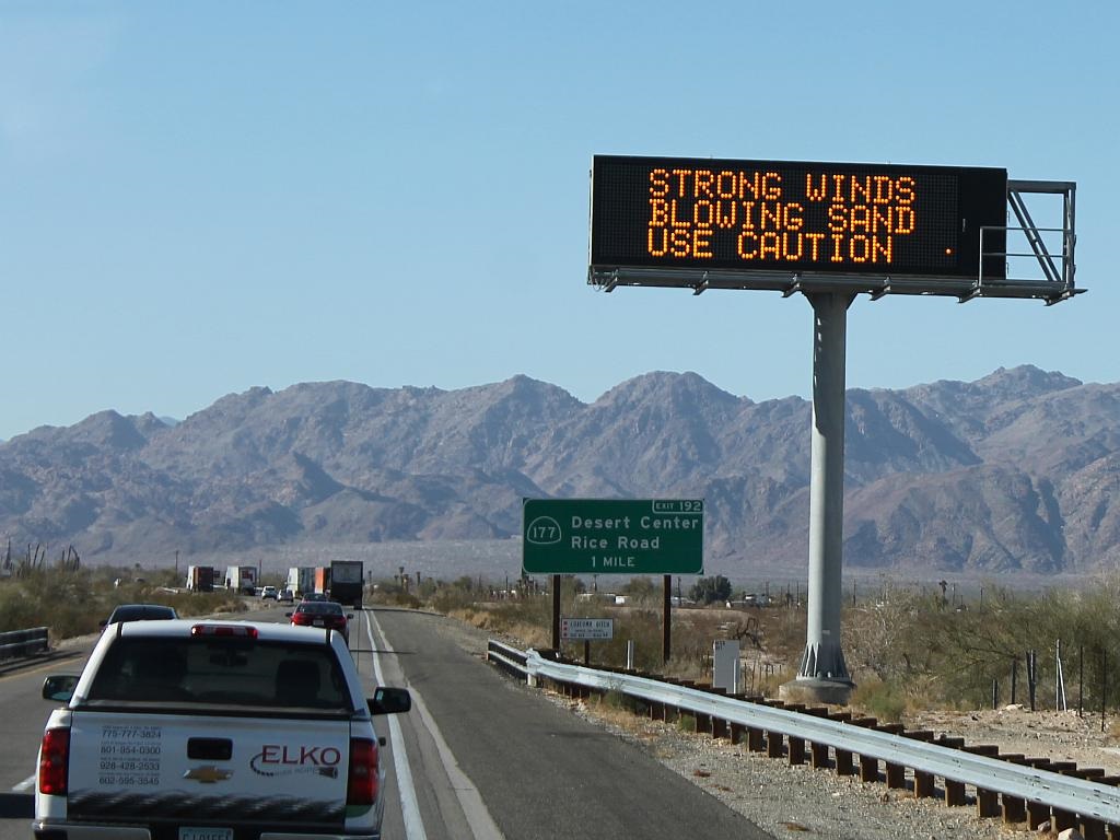
Damsel and I made the trip from Arizona to the California Low Desert today. The weather was agreeable for most of the way with the exception of some crosswinds that affected our transition along some places as we drove along Interstate 10. The warnings were not without merit, although we have had worse conditions on previous trips.
Damsel took this photo as we approached Desert Center. The traffic was a bit heavier than the last few times we made this trip. We cannot connect the additional traffic with any specific event or holiday, so I presume the heavier traffic is a random event.
At any rate, we are comfortably camping in Palm Desert this evening and will be entertaining our kids and grandson over the weekend. They stopped by for a little visit before heading to the other grandparent’s place to bed down until tomorrow when they will return for another visit.

