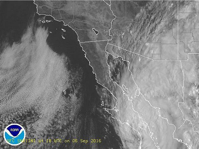
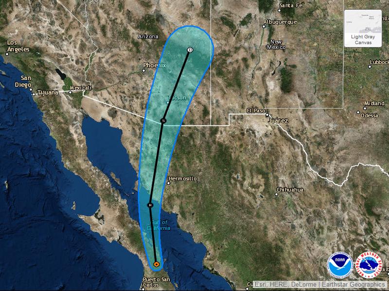
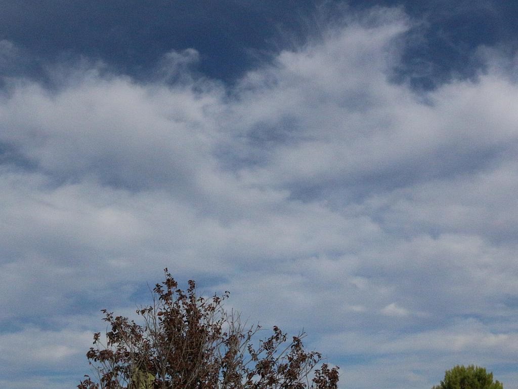
We’re in for some effects resulting from Hurricane Newton, currently crossing the Sea of Cortez in Mexico heading northward. In the images above, left to right, the visible satellite image showing clouds over the area, the probable path and intensity of the storm and a photo of some of the upper level clouds and moisture over us. Click on any image to enlarge.
Southeastern Arizona and Southwestern New Mexico are expected to endure some tropical weather over the next couple of days with isolated rain showers and flash flooding. Up here, we can already see the effects of the storm. Today started out crystal clear then after about 3 PM, the clouds associated with Hurricane Newton started to cover the area.
The following is an excerpt from a NOAA prognosis:
Newton continues to be a large tropical cyclone, and hazards extend well away from the center. These hazards will affect a large portion of Baja California Sur, northwestern Mexico, and southeastern Arizona during the next day or so. Moisture associated with the remnants of Newton are likely to cause heavy rains and localized flash flooding over parts of Arizona and New Mexico Wednesday and Thursday.
We’re not expecting high probabilities of storms (only 10 to 20 percent) but we’re well-stocked and will be ready for it if it comes.


I heard Phoenix got over 5 inches today….
Tucson got a lot on Tuesday, but today was fairly dry. Nothing on the radar and only a couple of showers over the mountains. We only got about five minutes of very light rainfall on Tuesday here in town.
Newton fizzled out pretty quickly, but gave us a couple of evenings of beautiful sunsets.
http://vernabob.com/blog/2016/09/07/hurricane-newton-sunsets/