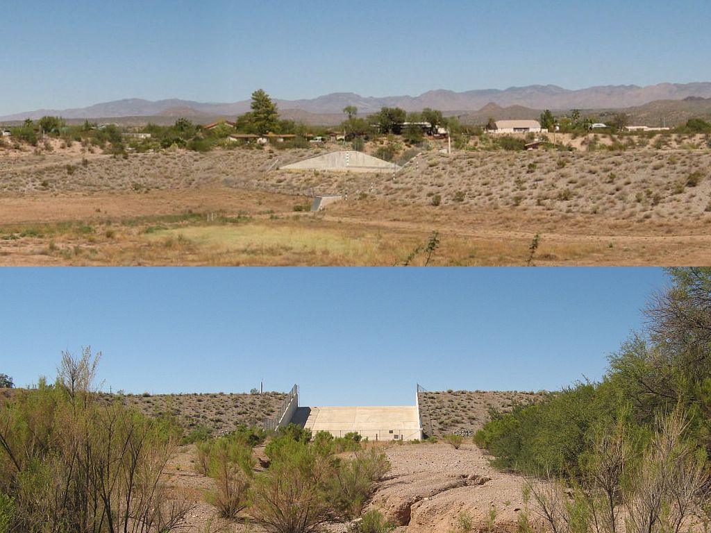
Image: (top) west side of the dam and basin (seen from US 60) – (bottom) east side showing spillway and lower wash. Click on the image to enlarge.
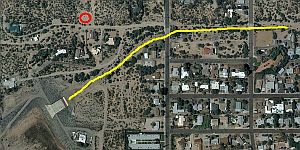
 One of the things you have to consider when buying property is the potential for damage from fire and flooding. I was very interested in the proximity of the Casandro Wash Dam and how the floodplain might affect our property. The diagram at the right shows an aerial view of the dam and spillway, the lower wash (yellow line) and the location of the new house (red circle). Click the thumbnail to enlarge.
According to the Flood Control District of Maricopa county:
Casandro Wash Dam was constructed to collect and store water from the Casandro Wash, removing a significant number of residential structures from the 100-year floodplain in a three-square-mile area east of the structure. The dam is 350 feet in length and the emergency spillway is an 80-foot-wide concrete weir through the embankment near the center of the dam. Casandro Wash Dam was constructed by the District which is also responsible for the operation and maintenance of the structure excluding the outfall system, which is maintained by the Town of Wickenburg.
From all the information we have gathered and the details in the escrow papers, we, and the other property owners near Casandro Wash are in pretty good shape when it comes to flood potential thanks to the dam and spillway.


Thanks for the interesting pics of the Casandro Wash Dam. I’m trying to make sense of it. Where do you get your satellite overhead views? Your satellite “bird’s eye view” of the spillway is more up-to-date than Google’s satellite view: http://maps.google.com/maps?hl=en&biw=1020&bih=546&gbv=2&q=casandro+dam+and+wash,+wickenburg,+az&ie=UTF-8&sa=N&tab=il
and also Microsoft’s “Windows Live – Bing” aerial view: http://www.bing.com/maps/#JnE9Lm5vcnRoK21hcmlwb3NhK2RyaXZlJTJjK3dpY2tlbmJ1cmclMmMrYXolN2Vzc3QuMCU3ZXBnLjEmYmI9NTEuNTI3NTgxMTI5OTQ1NyU3ZS05Mi40Mzk2NDM4NTklN2UyMC42NjExMTQwNDExNzQ1JTdlLTE1MS4zMjYzNjI2MDk=
Image from Mapquest. They seem to be more up-to-date than any of the others.