

According to the shake map above (click to enlarge – sorry about the crappy quality, but this is the original resolution), Washington DC is about 80 miles northeast of the epicenter of the 5.8 magnitude quake. It surprised me to hear that the quake caused officials to evacuate the Capitol and other government buildings. According to the color code, the DC area would have experienced “weak” to “light” shaking and no damage to structures.
As a former resident of a very seismically active area, I can attest that most of us who experienced that amount of shaking would simply have said “Hmmm – a little temblor.” And would go on with whatever we were doing. Some of us nerdy types would go to the USGS Earthquakes website to see the epicenter and magnitude. Maybe even look at the shake map.


 I’m kind of old-school. I like the delivery. I like the snow and sleet and time of day and all of that.
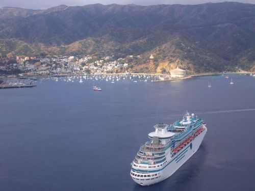 Cruise ships normally destined for sunny Mexico are diverting to Santa Catalina Island to avoid possible exposure to the Swine Influenza Virus at Mexican ports like Ensenada and Puerto Vallarta. Cruise ship traffic to the island is normally three to five ships a week, depending on the season.