September 2015

Third Day Out Camping

Whiskey Flats RV Park

We’re in Hawthorne, NV, tonight relaxing after a pretty long drive from Pahrump, through Death Valley, thence via US 95. We stopped at Scotty’s Castle in Death Valley to admire the architecture and get some gifts/souvenirs. After climbing out of the valley and back into Nevada, we got on the scenic highway through Nevada mountain country and the rustic towns of Goldfield, Tonopah and eventually, Hawthorne. The drive was long, but no traffic or weather complaints, thank the Lord.

We packed for fall weather, but the forecast for the next couple of nights are for brisk lows in the 40’s tonight and maybe even the 30’s tomorrow night in the eastern slopes of the Sierra Nevada mountains. Damsel assures me that there are warm clothes in the trailer just in case we need to bundle up.

We’re headed to Reno tomorrow, to do some shopping and sightseeing and then on to the next campground in the high country west of there just on the Nevada California border. No sense going into the K-stan any sooner than necessary.

Second Day Out Camping

Nevada Treasure RV

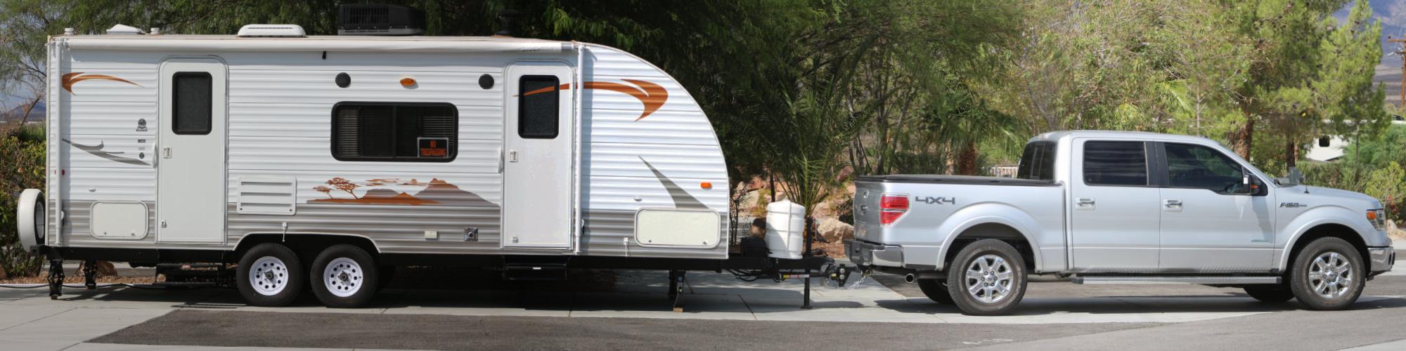
Today started out pretty good. Damsel got to do some shopping in Kingman for gifts, souvenirs and such. We fueled up the truck and pressed forward toward our intended route of via Hoover Dam and Las Vegas to Pahrump, NV where we are camped this evening.

We picked the route through Vegas because we wanted to go across the new Hoover Dam bypass. As we approached the Lake Mead area, the weather took a turn toward gusty winds, making it a bit more difficult to keep the trailer between the lines. At the bypass, we were disappointed to find no scenic turnouts near the dam. Moreover, the concrete sidewalls along the bypass bridge were too high for us to see the dam – a total bummer. Plus the gusty winds and generally miserable weather with intermittent rainfall made the experience less than optimum, to say the least.

But wait! There’s more! Transiting Las Vegas on a mid-Tuesday had it’s challenges; drivers there are every bit as crazy as any in a large metro area. We struggled along the route using extra caution to cope with the situation and finally got out of the area along Nevada State Route 160 towards Pahrump. Then, the steady rain came. The rainy weather was exacerbated by winding roads through mountain passes and fog. We passed an incident on the other side of the road where emergency crews were extracting a victim from an overturned vehicle (did I mention crazy drivers?).

The rest of the drive was without incident. We got to Pahrump, stopped for more fuel and headed to the RV park for the night. This park is very nice, featuring a bunch of stuff we don’t need, but the campground RV spots are level and paved. The main facility just south of us features a grill, a gift shop, showers and a workout gym, a pool and a bowling alley. Wow!

Tomorrow, we’re going to have a longer drive, with brief stops for grocery shopping, a short visit in a Death Valley gift shop and then on to Hawthorne, Nevada. The weather is forecast to be favorable tomorrow, so we should be able to pull the trailer in better, rural roadways.

First Day Out Camping

Camping

We took off for the first leg of our excursion this morning. It was a short leg in comparison to others along our route, in that we are only a couple of hours up the road from home, camping in Kingman, AZ. There is good reason, however, to stop here tonight. We originally were going to go the distance to Pahrump, NV, but a closer look at that plan showed us transiting Las Vegas at a peak traffic time.

Tomorrow, it’s off to Pahrump with a trip across the new Hoover Dam bypass bridge. The last time we went that way, the bridge was still under construction. Damsel plans to photographically record our entire trip, as usual, including the bypass. I don’t know if there is a place to stop in a scenic overlook up there, but I guess we’ll find out.

9/11 in Perspective – Ramirez

There is no doubt that September 11, 2001 was a terrible day in America. Michael Ramirez, however, postulates what the Iran Deal may provide for the terrorists, might look like in perspective to the 9/11 terrorism:

Perspective

Never Forget: The animated graphic has been displayed around the internet for a little over ten years now. The current number on the hits counter is approaching ninety-one and a half million. The hit rate has subsided in recent times from the peak a few years ago, but there are still upwards of five thousand hits per day. A lot of people will Never Forget.

Linda – Eastern Pacific Hurricane

linda.jpg

The activity in the Eastern Pacific tropics is still influencing the desert southwest. We’ve seen an extended monsoon season when we would expect second spring conditions to come to Wickenburg.

Hurricane Linda is the blob of activity west of Baja California seen in the infrared satellite map above, with obvious tendrils of tropical air and moisture coming to town. We had some showers today and this evening, but other parts of Arizona are getting some serious rainfall and flooding. Not that the desert can’t use the moisture, but . . .

By the way, it’s just weather. Not anything caused by other than solar and other natural influences on the planet. Just sayin’.

Wickenburg Chamber of Commerce Poster

Wickenburg PosterLast February, we bought a colorful poster from the town Chamber of Commerce for twenty bucks. We intended to get it mounted and framed, but as life events dictate (read procrastination), we put it off until last week when we took the poster to the shop in town that framed our bathroom mirrors; we asked them to mount it and frame it suitable for hanging.

The poster, itself, has a collage of notable events, people and other things that define our quaint old western town. Things like our founder, Henry Wickenburg, the Vulture Gold Mine that he discovered and a plethora of artistic and graphic depictions of local lore.

We got the call from the framers yesterday on our way back from grocery shopping, so we stopped in the shop and picked up the masterpiece. We both think it looks great and it is now proudly hanging on the south wall in the guest bedroom.

Click on the image to enlarge.

East Pacific Tropical Storms Energizing Monsoons

Tropical IR Map

Ever since East Pacific Hurricane Delores fueled one of the most massive rain dumps on our little town last July 18th, I have been keeping an eye on the EASTPAC tropical weather activity. There are two named storms in the infrared satellite image above: Hurricane Jimena on the left and Tropical Storm Kevin off the Baja California coast. Jimena is sort of headed to Hawaii and Kevin is slowly moving west northwest. The activity at the bottom of the frame is the usual inter-tropical convergence zone where there is almost always some activity.

You can see Kevin is sending a lot of moisture up to the southwestern US via Baja California and the Sea of Cortez. The moist tropical air meets the heated surfaces of the deserts and convective activity is inevitable, hence afternoon or nocturnal thunderstorms.

We had a group of storms pass closely to the east of town before dissipating earlier this afternoon and evening. We had a few raindrops and quite a bit of wind, but the most severe activity was well south of us along I-10, west of Buckeye, AZ.

We are alert for more monsoon weather through the remainder of this week and into the Labor Day weekend. We are hoping for a mild weather weekend, ourselves.